PROPOSED JONDACHI-HOLLIN-MISAHUALLI-NAPO ECOLOGICAL CORRIDOR
In order to preserve the integrity of the biodiversity, aquatic ecosystems and scenic landscapes in one of the few remaining free-flowing river corridors that connects a very important transition zone between the Andes and the Amazon, the ERI has proposed the designation of the Jondachi-Hollín-Misahuallí-Napo Ecological Corridor as a model for natural resource management and conservation in the tropical Andes, with the value-added benefit of generating sustainable economic revenues for the region through low-impact adventure tourism activities which depend on the quality of the resource.
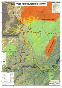
A conceptual map of the proposed protected river designation is presented below (click to enlarge image):
The proposed Jondachi-Hollín-Misahuallí-Napo Ecological Corridor, is a model conservation strategy which aims to establish a designated protected buffer zone that would extend 500m (~ 1/3 mile) on each side of the river, as shown in the yellow highlighted portion of the map, which is estimated to be sufficient as the minimum area needed to preserve the viewsheds and natural integrity of this free-flowing river corridor which connects a very important transition zone between existing protected areas in the Andes mountains and private reserves in the lower basin.
Preserving strategic free-flowing corridors which connect the Andes to the Amazon is essential to conserving biodiversity and aquatic ecosystems, as well as maintaining sustainable economic opportunities for this region by preserving the quality of the natural resources to allow the benefits from existing, low-impact adventure tourism activities such as kayaking, rafting, mountain biking, bird watching, hiking, etc.
The ERI has developed supporting materials and made important advances introducing this proposal to government agencies and authorities, as well as the local population and other organizations.
Although introducing new concepts and ideas is challenging and takes some time, by coordinating and networking with government agencies and other institutions, the ERI hopes to be able to provide incentives for land-owners in the designated protected river corridor area through land grants and carbon credits, as well as to develop programs to promote intensive reforestation projects in the areas outside of the corridor which have been mostly deforested as a way of creating employment opportunities and generating future benefits for the local communities.
It is hoped that these alternatives and incentives will take pressure off of the increasing encroachment into the river corridors for more wood harvesting and agricultural expansion, hydroelectric development and mining activities.
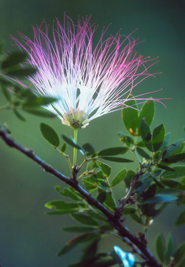
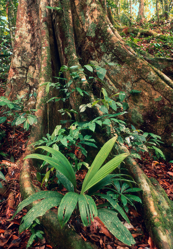
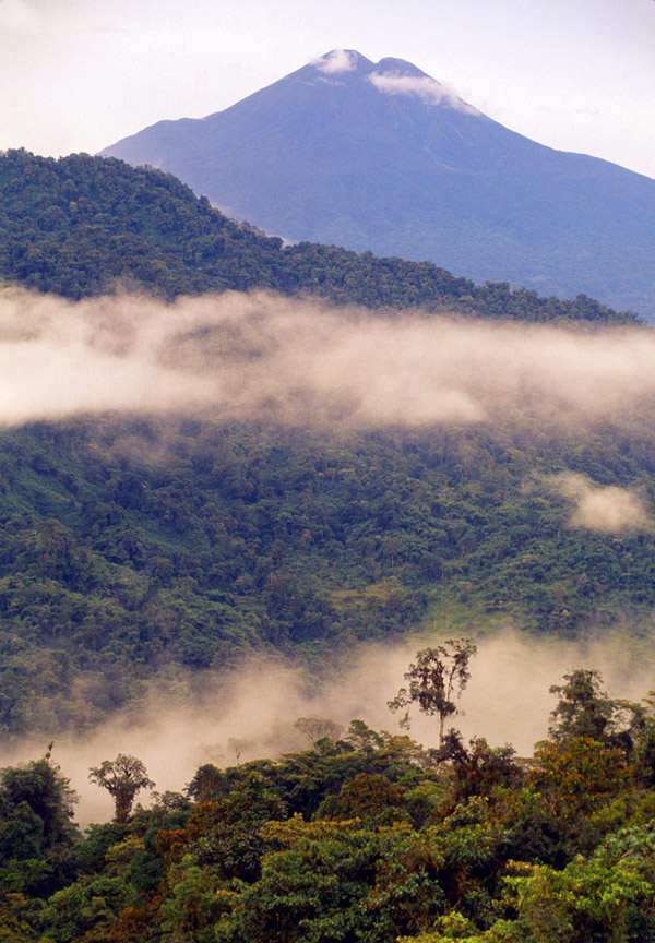
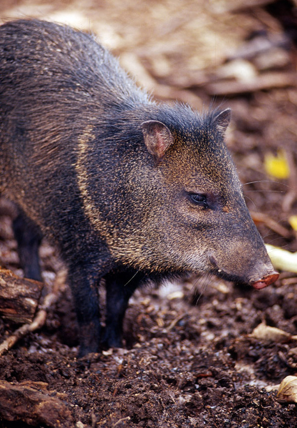
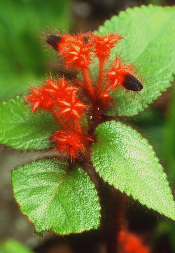
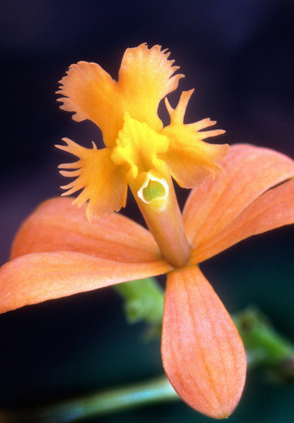
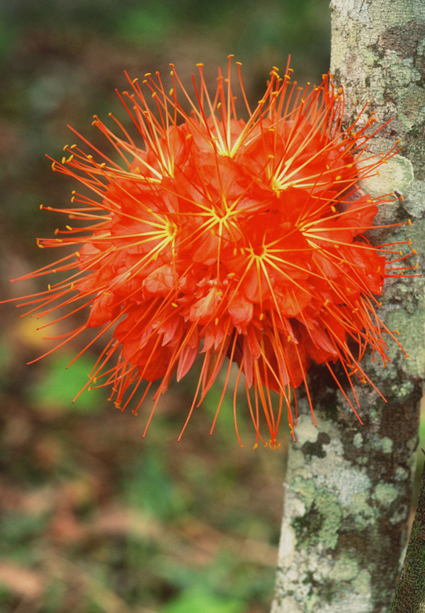
Here we display images of some of the representative biodiversity which would be preserved in the proposed ecological corridor, courtesy of Bruce Farnsworth Photography:
Bruce Farnsworth is an editorial photographer and zoologist focusing on place-based understandings of wilderness and sustainability initiatives in the critical tropical rainforest zones. Profound intercultural experiences and degrees in zoology, education and art influence his intimate and richly-textured images. His feature and assignment work includes such magazines as National Geographic, Smithsonian, CondeNast and The Nature Conservancy. Bruce’s long-term documentary project “Amazon Headwaters: Locals Working Toward the Global,” recently received 501 (c)(3) fiscal sponsorship from the Blue Earth (Seattle). To see more of Bruce’s work, visit www.brucefarnsworth.com
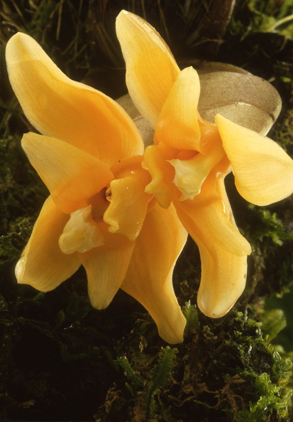
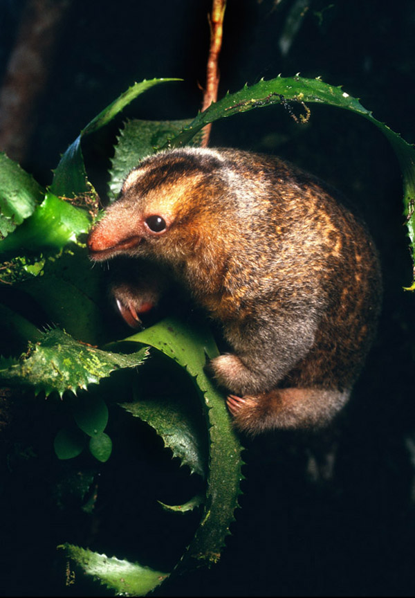
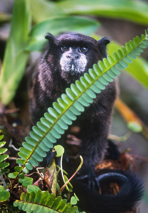
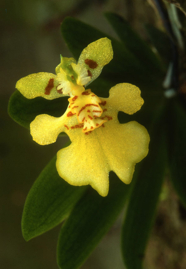
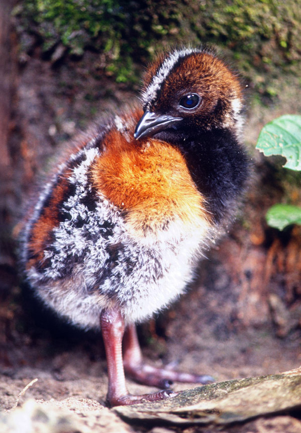
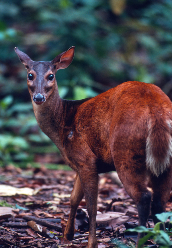
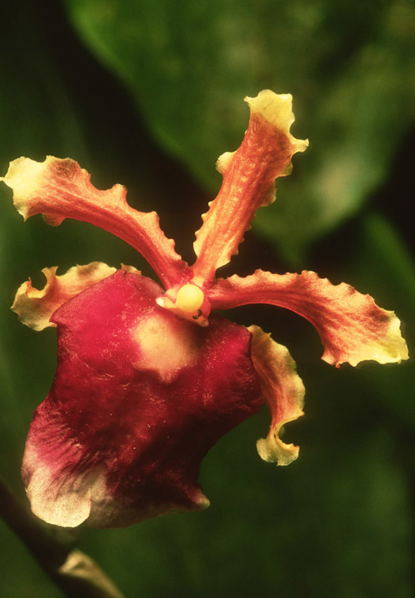
This region is rich in bird life. The road that runs from Baeza to Tena passes directly through a zone in between Sumaco and Antisana. It is dotted with farmlands and should be protected. The zone probably has over 500 bird species and some of these are as rare as they come. We would love to see this entire area protected and would do anything we can to assist in the process.